Arts and Sciences helped Jon Anderegg pursue his passions, return to Ohio State through award-winning research
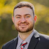
Jon Anderegg is an extraordinarily well-traveled and accomplished scholar. He has been educated or been an educator in five states at a number of different institutions. However, one of those institutions has popped up three times on Anderegg’s CV: Ohio State.
More than a decade ago, Anderegg received his master’s degree in communication from Ohio State. He returned to Ohio State as a lecturer in the School of Communication for four years before life took him back to the West Coast.
“My wife finished her PhD and we ended up out in Oregon, which is where I grew up,” Anderegg said. “While I was out there, I started to think more about what I wanted to communicate with an audience.”
Anderegg took advantage of the scenery and nature while on the West Coast and would often run on the local trails. It was there that he noticed trails that had gone unkept, leading him to join a non-profit that worked on maintaining the nature trails.
“Through that experience, I got connected with geographical information science (GIS), as a way to ask spatial questions” he said. “Why and where are things happening in nature and what can be done about them?”
Around the same time, Anderegg lost his job at a previous institution during the COVID-19 pandemic. As he began to explore what would come next in his academic career, Anderegg once again found Ohio State.
“Ohio State had just started a master’s program in GIS and through a variety of personal reasons, we ended up back in Ohio,” Anderegg said. “So naturally, I thought, this is the time to go back to school.”
Anderegg enrolled back at Ohio State and completed his Master of Science degree in August 2025. During that time, a project of his was named a finalist in the worldwide 2024 ArcGIS StoryMaps Competition: Storytelling For a Better World. Anderegg’s story map, Exploring the Olentangy Watershed, was developed for Geovisualization in fall of 2024.

The genesis of the project came from Anderegg’s genuine curiosity about nature in the state of Ohio, now that he was back in a familiar space, but look at it through a new lens.
“Nature is outside our doorstep, no matter where we live. That nature is about not just caring for national parks, but it's about caring for the places where we live,” he said. “And I thought, ‘now that I'm here in Ohio, what can I do?’”
Anderegg’s primary focus of the project was to illustrate the water flow in the state of Ohio and show where certain bodies of water were formed and how they continue to impact the areas around them. To complement that scientific aspect of the project, Anderegg also aims to tell the story that watersheds and water flow in Ohio have written throughout the years.
“Water connects people. The more we think about our connection to water and our connection to that resource, I think the more resilient hopefully we can be as a society in the future,” Anderegg said. “So, I was trying to figure out ways to tell that story.”
One such story that Anderegg is able to illustrate with his GIS map is the story of the Delaware Dam, which was created in 1938. While it was only originally designed to last for 50 years, it is still in operation and regulates the flow of the river downstream. That water ultimately flows through the heart of Columbus.
Anderegg was able to combine his previous undergraduate and graduate work as a communicator and journalist and combine that work with his GIS knowledge to complete a project that can be appreciated and understood by everyone that makes up his target audience.
“You want to be able to share your knowledge and expertise but also package it in a way that is accessible for your audience,” he said. “You want it to be simple enough to be accessible, but complex enough to be interesting.”
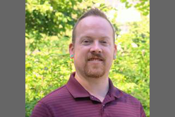
Through his research and GIS project, Anderegg completed his Master of Science at Ohio State and returned to the university as a full-time GIS lecturer in the School of Environment and Natural Resources after nearly a decade away.
“When they hired me, they told me that the GIS story map was the pivotal thing that got me the job, so that was pretty exciting to hear.”